Concentrating on the development of Wireless Sensor Network Algorithms for Landslide Monitoring.
AmritaWNA is actively involved in the research and development of a Wireless Sensor Network for Real-Time Landslide Monitoring. As part of this research, AmritaWNA has developed and deployed India’s first Wireless Sensor Network for Landslide Detection and India’s first Landslide Laboratory Setup. AmritaWNA has actively partnered with other agencies in executing various projects under this broad research area.
It is estimated that the annual loss due to landslides worldwide is $400 million. So there is potential to have much societal impact by deployment of this technology.
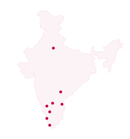
One of the most beneficial projects developed by Amrita for society to date, WINSOC involves the design, development and deployment of a real time wireless sensor network (WSN) for landslide detection. Along with the real-time deployment, large and medium scale landslide laboratory setups have been developed for conducting extensive experimentation to gain a better understanding of landslide phenomena, in order to help assess the risk of a landslide at the deployment site. The real-time network is deployed in Munnar, Idukki District, in the state of Kerala, South India. The deployment location has experienced numerous landslides, of which the latest, in 2005, caused a death toll of 10 people and an enormous amount of infrastructural damage. The deployment area covers seven acres of the mountain with the network consisting of approximately 25 wireless sensor nodes forming the two-layer hierarchical network. The data transmitted from the WSN is sent via a directional Wi-Fi link to a Field Management Center, one km away, from where it is then forwarded over the satellite link to a sophisticated landslide data processing and modeling center, located 300 km away at the Amritapuri campus of Amrita University.
Amrita has developed online data visualization software for real-time data analysis This system addresses one of the most pressing needs for saving lives in the nation’s disaster prone areas. In July 2009, this system successfully issued a warning of a possible landslide during the torrential rains that lashed throughout the State, and has come as a lifeline for Munnar region. Data about movements of the subsoil was viewed in real-time, as it actually happened, by the project coordinators. Immediately a warning was issued. The warning was substantiated by the Kerala government and then distributed to TV news channels. “If rainfall continues at the current rate, there is a very high chance that a landslide will occur at Anthoniar Colony, Munnar, Idukki District,” the warning had stated. This is the first time ever world over where the capabilities of wireless sensor network technology has been used for developing landslide detection system. An outstanding feature of the system is that the signals have been made online at the website winsoc and thereby researchers across the world can study the signal variations and patterns on a real-time basis.
Details of WINSOC including papers published, academic and industry partners may be seen on WINSOC’s page.
This project is funded by Department of Information Technolog Government of India.
This project is for the Monitoring and Detection of Rainfall Indued Landslide Using an Integrated Wireless Network System. This project is funded by Department Of Science and Technology (DST), Government of India.
Get latest updates & announcements from this school in your inbox